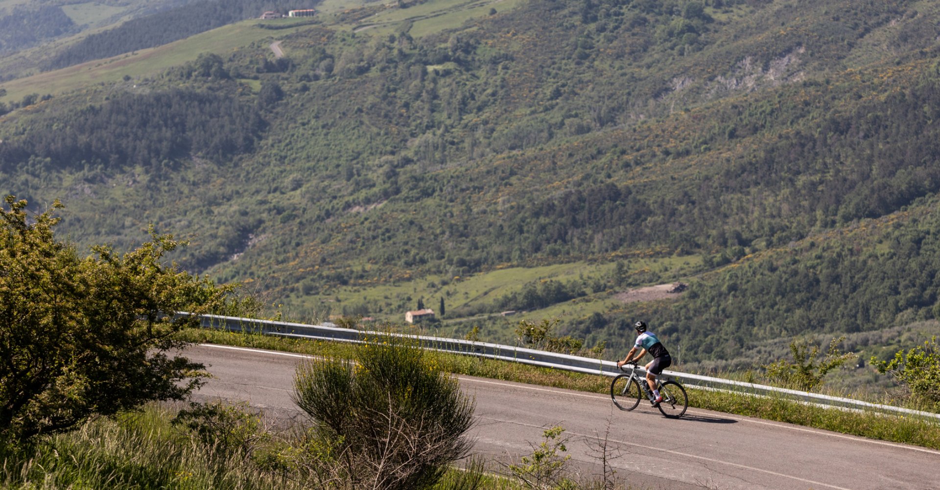
The upper valley of the Paglia

To travel this road that winds between Abbadia San Salvatore, Piancastagnaio and Radicofani is to cross a piece of history involving the oldest variants of the Via Francigena. At first under the direct control of the monks, depending on the time of year the pilgrims' road to Rome could pass upstream, through the garrisons of Abbadia and Piancastagnaio, or downstream, at the small station of Callemala. Later, the decline of the monks shifted the main route to the other side of the valley under the direct control of the imposing Fortress of Radicofani. The Paglia valley consists mainly of argillites, or clays, as they are called here, and due to the erosion of the clay, gullies are formed, spectacular geological formations that characterize the landscape.
We start from Piancastagnaio by taking the SP 18 to complete the ring counterclockwise. The route remains substantially at altitude, always around 800 mbsl, immersed in the woods of the Pigelleto Nature Reserve for the first 17 kilometers. After passing the locality Tre Case, take the SP66 to the left in the direction of Castell'Azzara. Further on, the road merges onto SP4, which we will take turning left to reach the lively village of Castell'Azzara, where we can take a coffee break.
The road begins to descend among beautiful panoramic views. At the hamlet of Sordino we take a left towards Piancastagnaio, on the SP20. The provincial road takes us first over the Siele stream, near the imposing Sforzesca Villa, and then over the Paglia River. Immediately after this last bridge we will merge onto SR2, which we will follow for less than two kilometers, just long enough to veer left onto SP321 and begin the ascent toward Celle sul Rigo. A few kilometers downhill and then we start climbing again, having as our new destination Radicofani, a village that certainly deserves a visit to the historic center and the majestic fortress conquered in 1290 by Ghino di Tacco.
We descend again a few kilometers until we take the left fork to Abbadia San Salvatore, where we begin the last climb that will take us up to 916 mbsl, the highest point of the itinerary. Once past the last cliff, the road begins to descend gently to Abbadia San Salvatore and finally Piancastagnaio, closing our ring.