
A slow tour between medieval villages and ancient woods until you reach 8 gushing springs
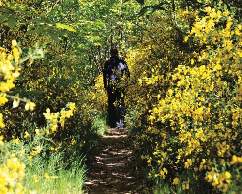
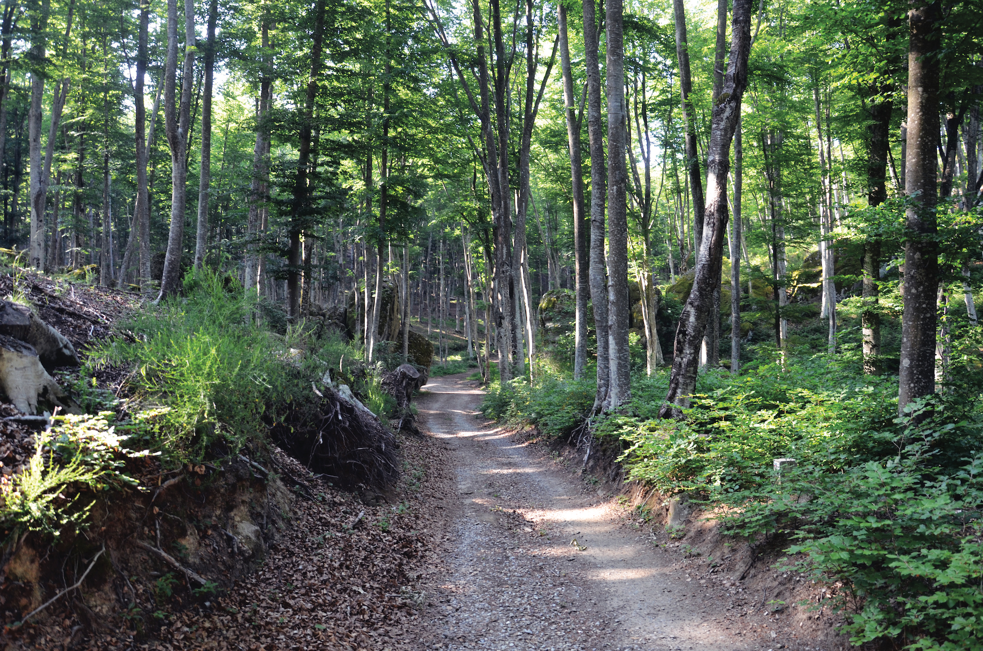
The uncontaminated nature of Amiata combined with the extraordinary power of the waters and its ancient villages: these are the elements that characterize the uniqueness of "Waterways", the paths that develop between the municipalities of Arcidosso, Castel del Piano, Santa Fiora, Seggiano and Castiglione d'Orcia.
5 itineraries along 40 kilometres, on foot, by bicycle or by e-bike, thanks to the presence of charging and / or maintenance columns. A slow journey through medieval villages, centuries-old chestnut groves, silver fir woods and the splendid Amiata wood of beech trees, until you reach 8 gushing springs.
A slow and sustainable tourist experience dedicated to those who love nature, at any time of the year.
Two routes that come together to create an itinerary about 10 km long of medium difficulty, to discover the waters of the suggestive village of Santa Fiora.
The first trail starts from Piazza Garibaldi, the heart of Santa Fiora, and winds through the narrow streets of the historic town centre, between the remains of the ancient walls, the precious Della Robbia’s ceramics of the parish church of Saints Flora and Lucilla, until reaching the suggestive Peschiera and the gallery of Fiora's sources, returning along the naturalistic trail of the Path of the Mills.
The church of San Rocco, on the other hand, is the starting point of the second part of the trail that allows you to reach the Terraio deposit in Marroneto.
- straighten
Length10.3 Km
-
DifficultyAverage
- trending_down
Descent349 m
- trending_up
Ascent349 m
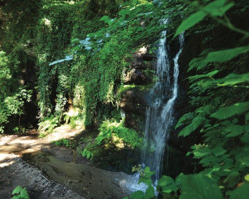
A ring itinerary of about 7 km crossing small villages and ancient mills until you reach the legendary Acqua d’Alto waterfall, in the municipality of Arcidosso.
From the Porta dell’Orologio, in the heart of Arcidosso, you can reach the small village of Fornaci, once important for the production of bricks. Along the way, you will encounter historical places, such as the birthplace of David Lazzaretti, the “Prophet of Amiata”. You will also see the ruins of the "Mulinaccio" and the Acqua Bona water source, which legend has it, is linked to the figure of Pia de' Tolomei. Finally, the village of Canali and the Terra Gialla factory, where the Terra di Siena color used to be produced.
The final destination is the suggestive Acqua Alto waterfall, 25 meters high, immersed in a splendid naturalistic context.
- straighten
Length6.6 Km
-
DifficultyAverage
- trending_down
Descent220 m
- trending_up
Ascent220 m
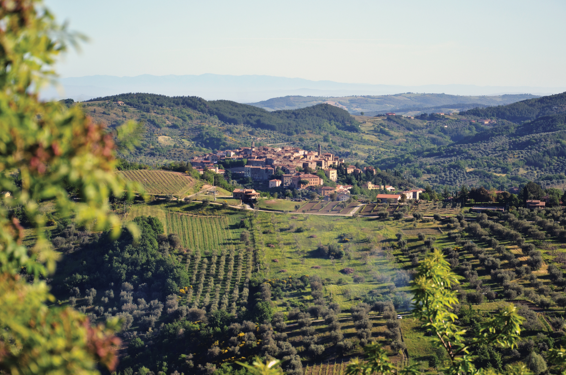
Another circular route between breathtaking views, natural springs and ancient stone buildings: the ring of the source of Burlana extends along a distance of 5 km and touches the municipalities of Castel del Piano and Seggiano.
The departure is from the parking lot of the village of Tepolini: along a path alternating uphill and downhill stretches, it reaches the water source of the “Burlana”, a reserve of life and biodiversity, surrounded by greenery.
Continuing along the trail, it is possible to admire centuries-old chestnut trees and ancient drying rooms, where the Amiata chestnut growers once used to dry the precious Amiata chestnuts, finally reaching the villages of Pian di Ballo and Leccio.
- straighten
Length5.1 km
-
DifficultyAverage
- trending_down
Descent250 m
- trending_up
Ascent250 m
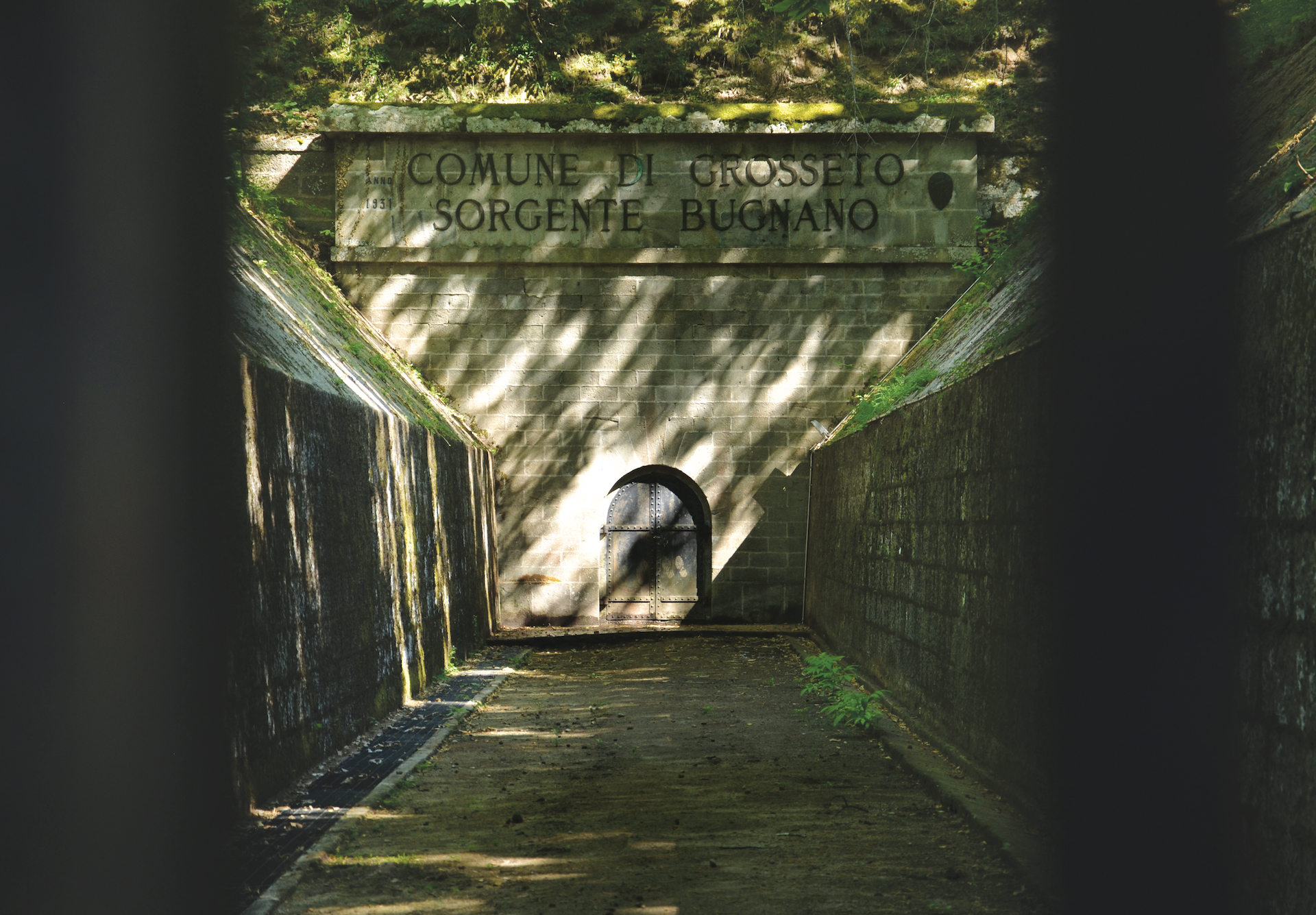
It is probably the most challenging itinerary between the Water Ways: a path of about 7.5 kilometres that connects the village of Collevergari to the Sources of Arbure and Bugnano, just outside Castel del Piano. For a short distance, the itinerary follows the path to the Amiata ring.
The route develops in a still little-known part of the mountain, among splendid chestnut groves treated as gardens and ancient lava rock flows that have watched over the steps of travellers for millennia. Stony paths and old mule tracks remind you of a past that is still alive while the views you look out onto along the way leave you breathless.
- straighten
Length7.5 km
-
DifficultyDemanding
- trending_down
Descent430 m
- trending_up
Ascent430 m
A walk of about 10 kilometres in the magnificent Parco del Vivo, starting from the village of Vivo d’Orcia or from the parking lot along the road that leads to Seggiano.
The itinerary plunges into chestnut woods and reaches the splendid Amiata wood of beech trees, allowing you to walk on the water channels of the "Gorina" and reaching the Source of Capovetra.
- straighten
Length9.6 km
-
DifficultyAverage
- trending_down
Descent484 m
- trending_up
Ascent484 m